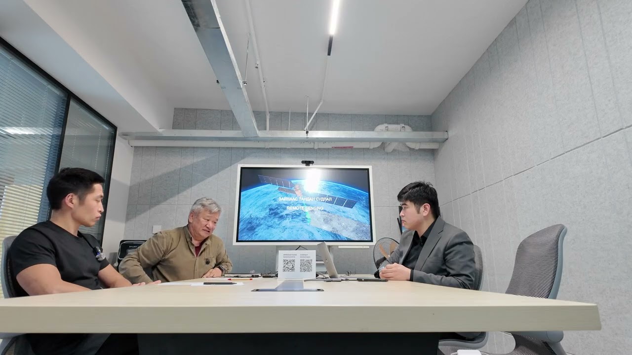
Podcast
Listen to our latest podcast on geology and remote sensing technology trends!
Your Partner in Mining Exploration through Satellite Image Processing
Agulasoft is a Mongolian IT company founded in 2024. We provide free tools for geologists to explore mining resources using advanced satellite image processing techniques.
Listen to our latest podcast on geology and remote sensing technology trends!
Explore mineral resources with high-quality satellite imaging tools.
Visualize and analyze geological data with our user-friendly map interface.
Generate detailed reports and insights to support your exploration projects.
Have questions or need assistance? Reach out to us!